
Off-Road Access ~ Lake Powell Overlook


Route Overview
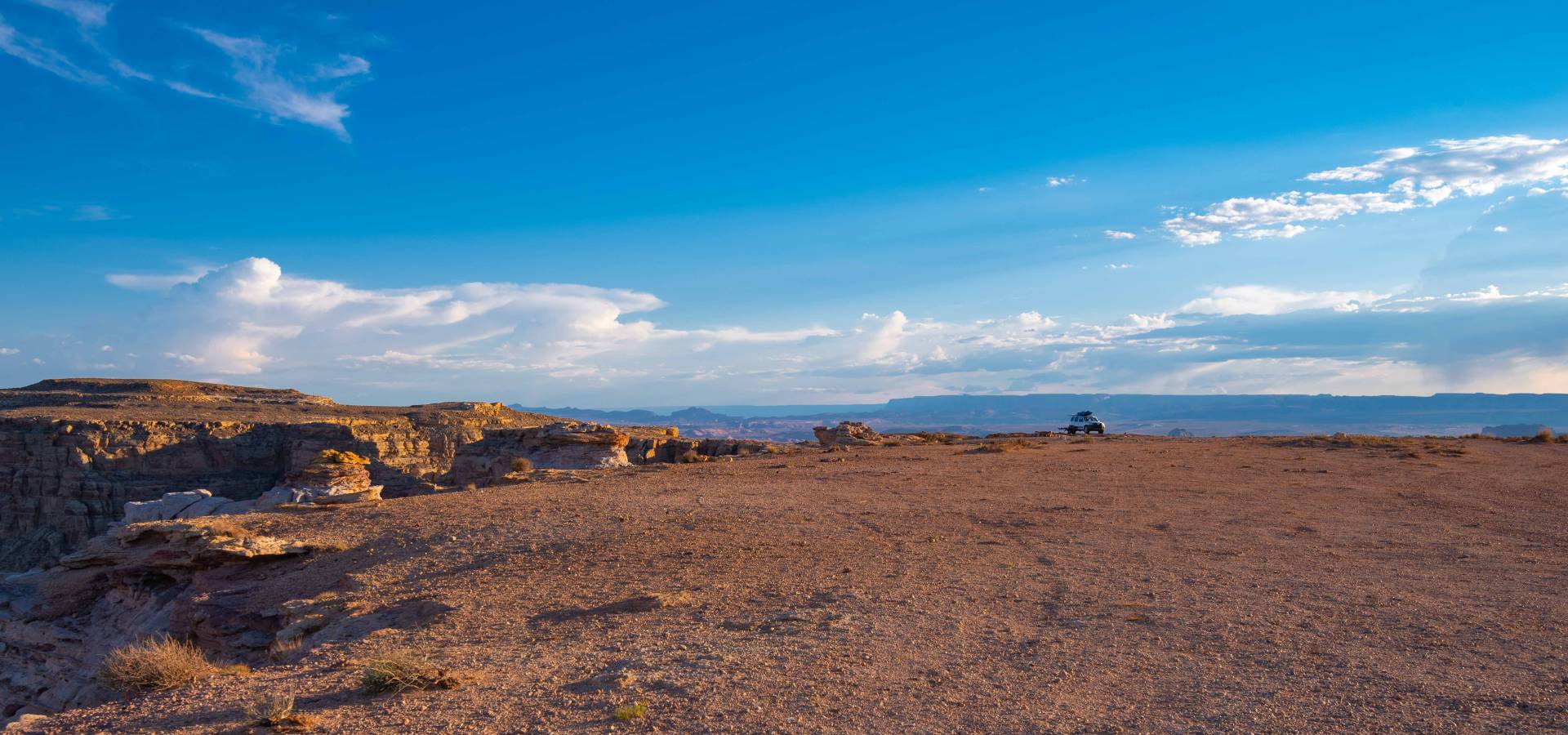
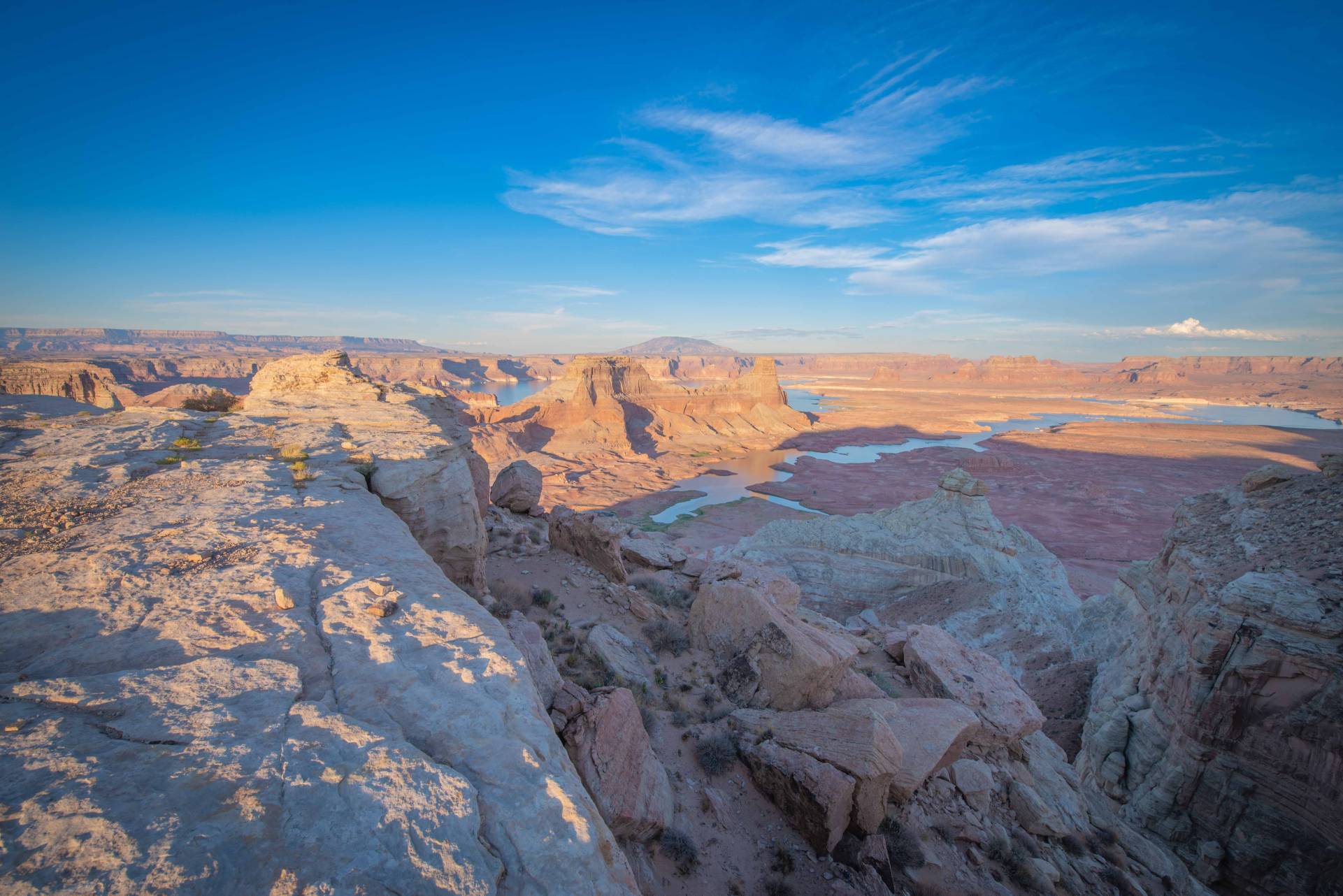
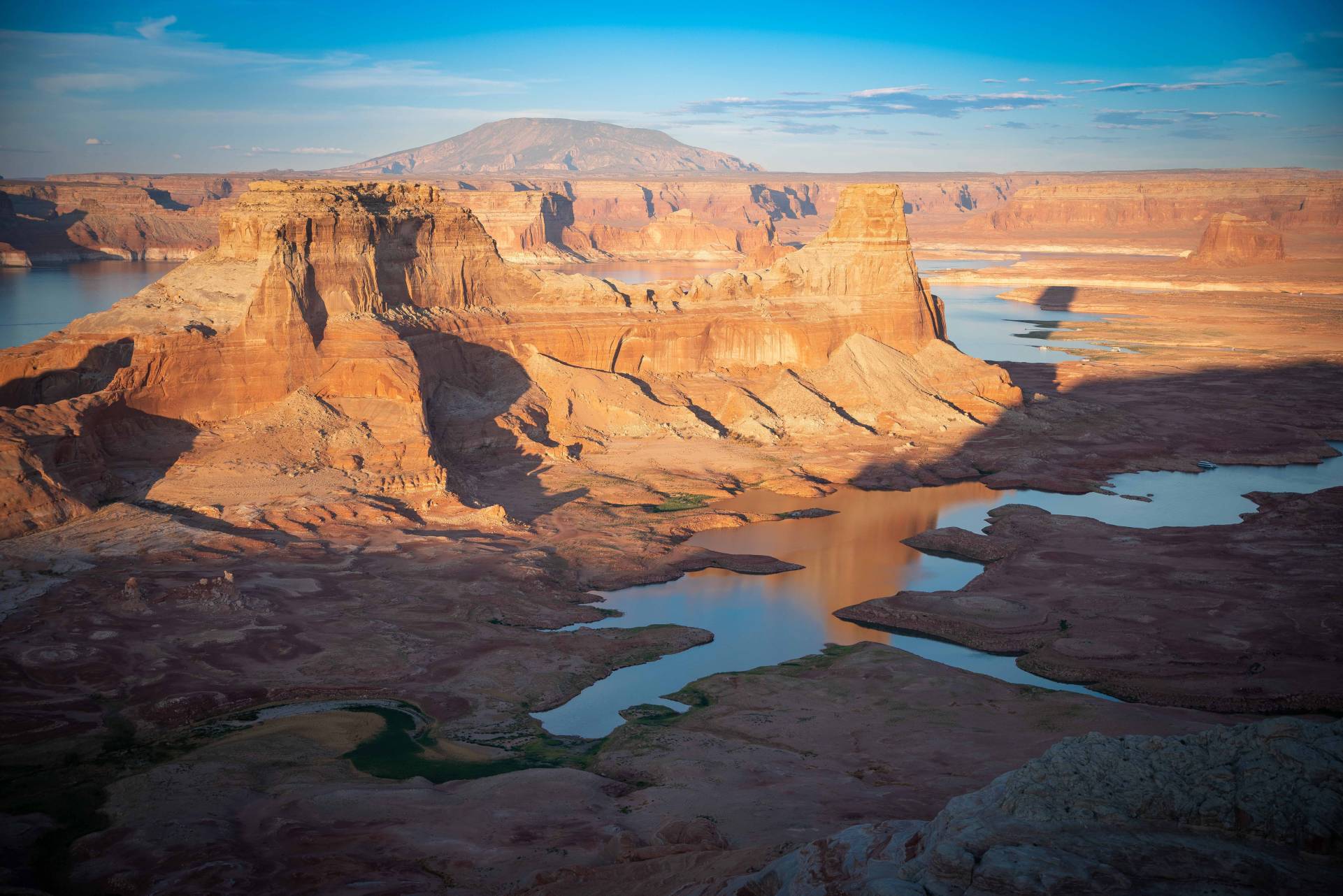
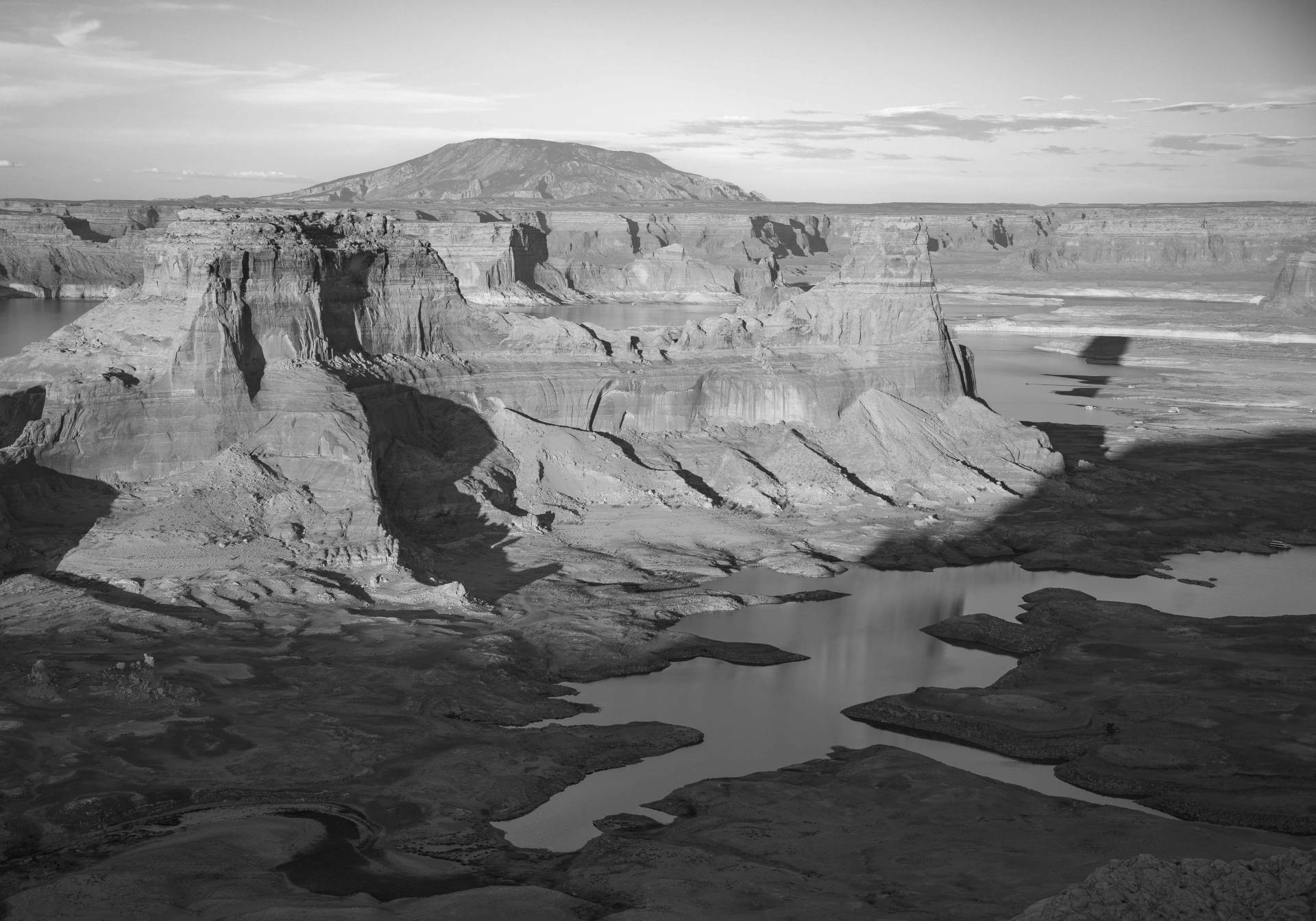
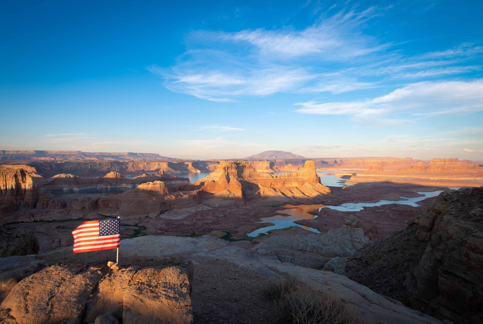
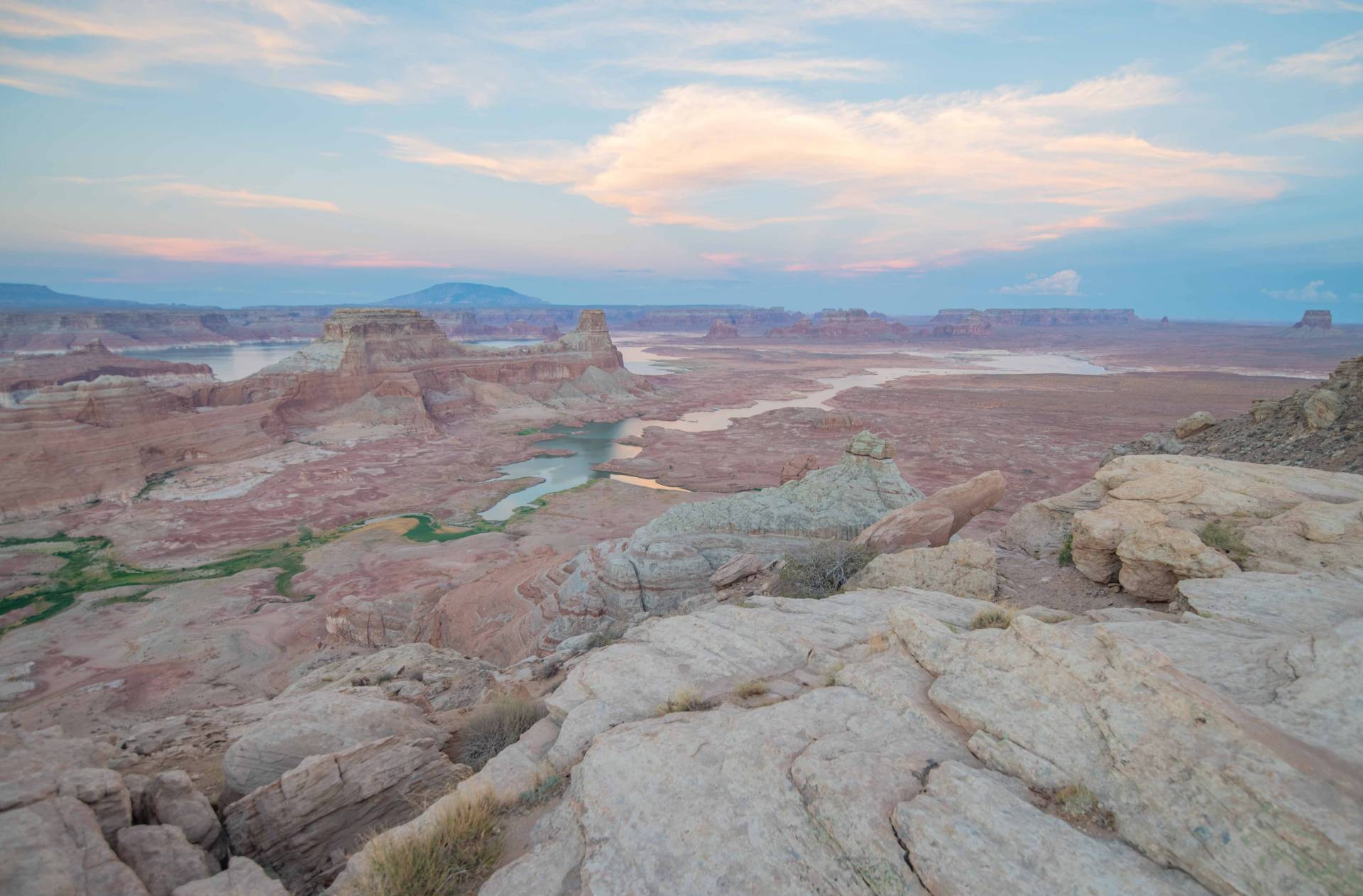
Alstrom Point is a world-renowned off-road destination in Glen Canyon that provides access to stellar views of Lake Powell, Gunsight Butte, and the surrounding canyon country. The route involves extended dirt road travel and sections that require moderate 4×4 driving in dry conditions. Dispersed camping, hiking, and unmatched photography opportunities await at the end of this fantastic geologic feature.
Type of Road: AWD with clearance
Length: 46.6 Miles Round Trip from Big Water
Difficulty: Challenging for AWD – Easy for 4×4
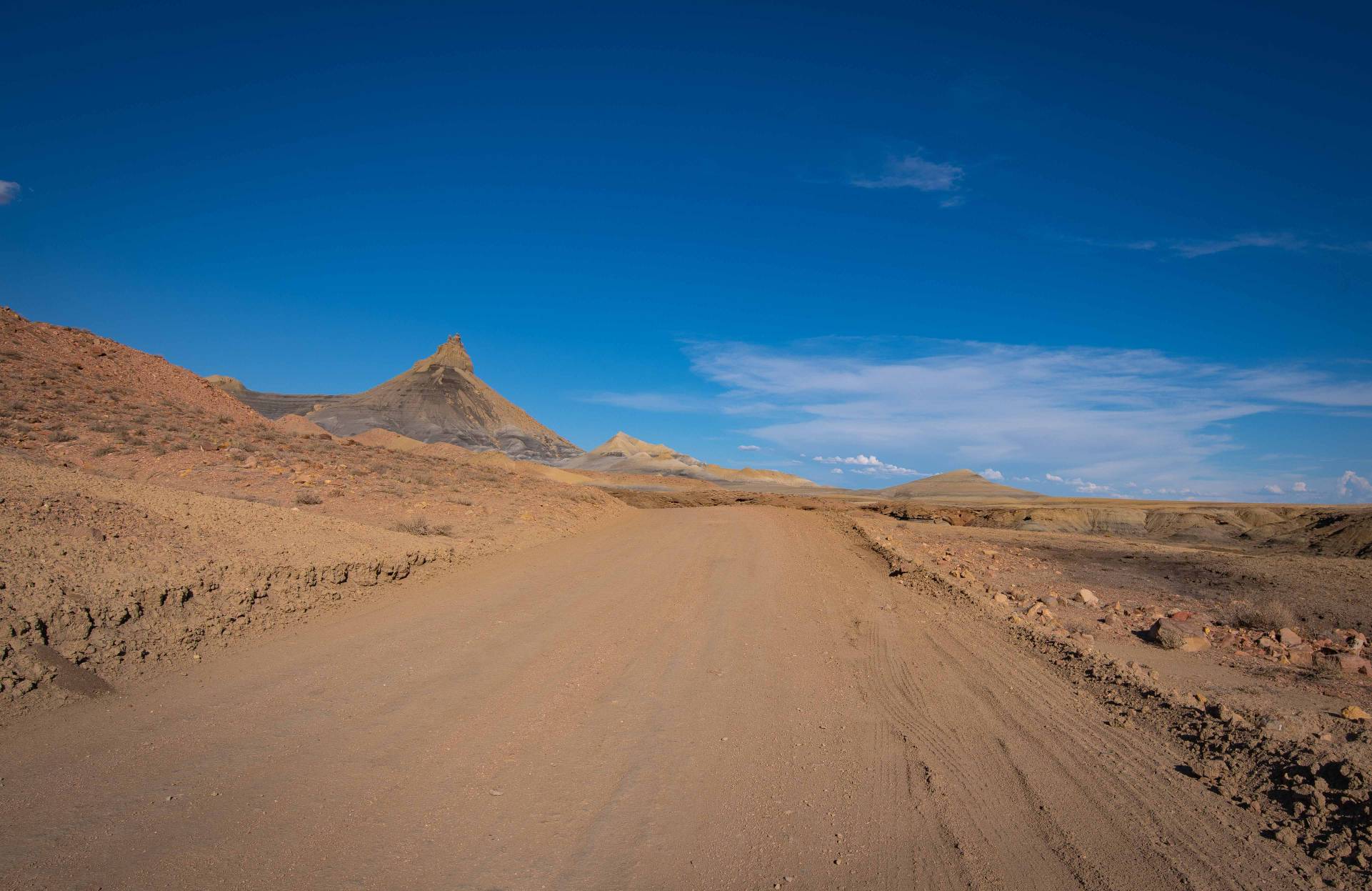
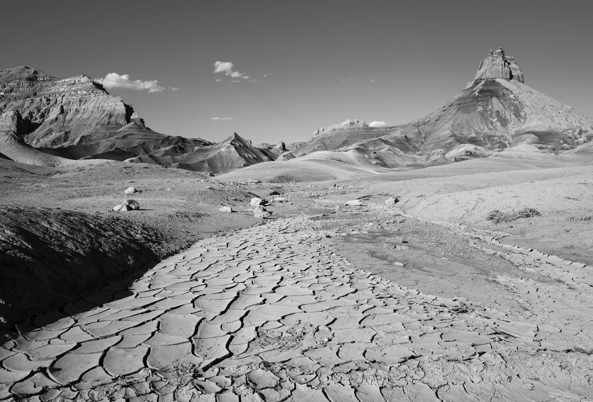
Terrain: Shale (quickly turns to mud), Wash Crossings, Mild rocky sections
Destination: Scenic Overlooks
Elevation Gain: 250 feet
Directions to the Road
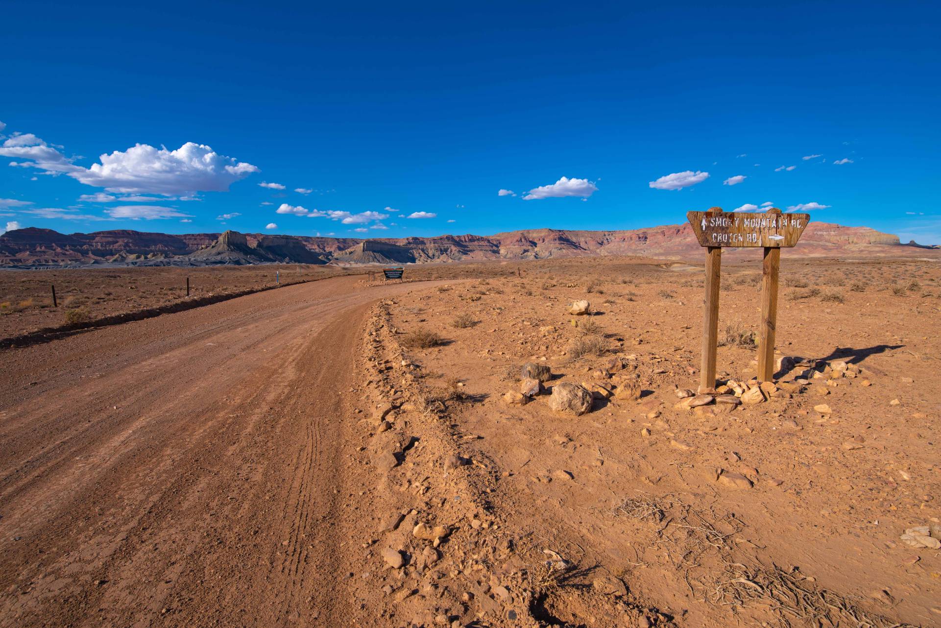
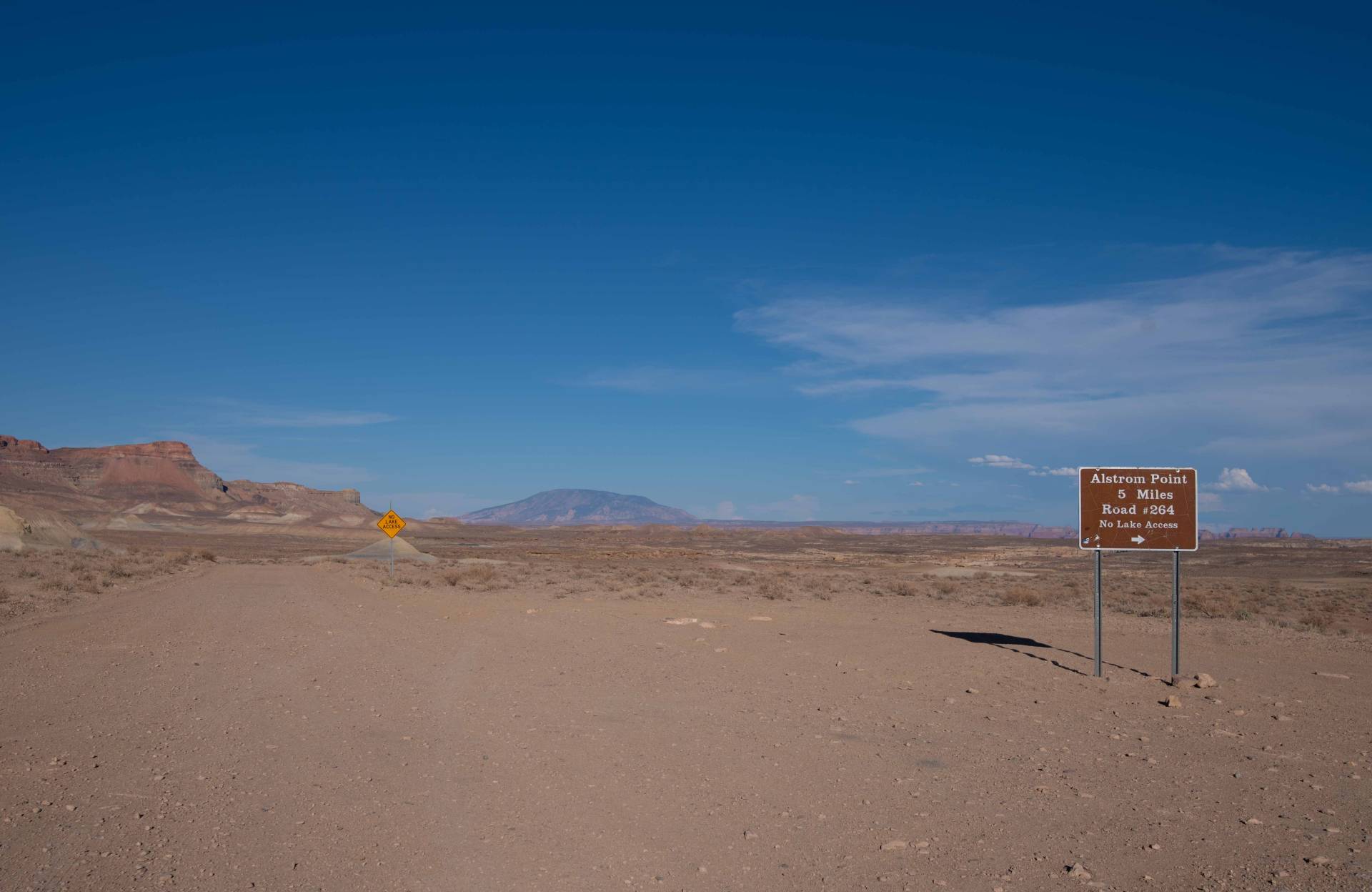
Turn off of Highway 89 in Big Water onto Ethen Allen Street and drive for 0.3 miles. Then turn right at the sign in between two large yellow warehouse buildings that says Glen Canyon National Recreation Area – Highway 12 —- ( Hwy 12 is also known as County Road NP 230). A mile after the turn the road will become an improved gravel road suitable for all vehicles and you will come to Wahweap Creek crossing, under normal conditions the crossing is fine for any type of vehicle but beware during times of rain. Drive down NP 230 for 13 miles and take a right at the fork staying on Smokey Mountain Road (NP 230) there will be a sign pointing the way. Drive one more mile and once again bear right, staying on Sit Down Bench Road (NP 230 aka K8200) which is also marked with a sign. Continue down NP 230 for 3.2 Miles and take a slight right onto NP 264 Alstrom Point Road.
Alstrom Point Drive Description
Off-roading doesn’t get much better than this route! This drive not only offers entertaining terrain for drivers but also rewards you with one of the most breathtaking vistas in the region. From this perch, the panoramic view spans the vastness of Lake Powell, showcasing its intricate network of canyons, emerald-blue waters, vibrant rock formations and Navajo Mountain—a paradise for photographers and nature lovers alike. Dispersed camping is permitted, making it the perfect spot to watch the sunset, fall asleep by the campfire, and wake up to the sun rising over one of the most stunning panoramas nature can create. While the drive is relatively mild for 4×4 vehicles when dry, it can be challenging for low-clearance AWD vehicles. The road is highly susceptible to flooding and quickly turns to sticky mud when wet, making it impassable even for ATVs, so it’s crucial to check conditions before you embark. If you’re planning a day trip, be sure to allow plenty of time—the nearly 50-mile round trip can take longer than expected due to slow-going sections on the Point Road, and darkness can fall quickly if you’re not prepared.
~ BACK TO NORTHEAST OF HIGHWAY 89 ~
